File:LostProvinceLocal13 1024.jpg

Size of this preview: 430 × 600 pixels. Other resolution: 734 × 1,024 pixels.
Original file (734 × 1,024 pixels, file size: 364 KB, MIME type: image/jpeg)
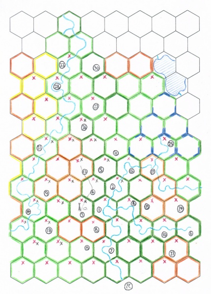
Lost Province local map of Cogistan and the western Gaur River region as at 09/01/2016, Session 25
File history
Click on a date/time to view the file as it appeared at that time.
| Date/Time | Thumbnail | Dimensions | User | Comment | |
|---|---|---|---|---|---|
| current | 14:09, 12 January 2016 | | 734 × 1,024 (364 KB) | Gavin (talk | contribs) | Lost Province local map of Cogistan and the western Gaur River region as at 09/01/2016, Session 25 |
You cannot overwrite this file.
File usage
There are no pages that use this file.